
Lake News Alerts
We'd like to send you lake news articles, videos, and podcasts from around the web.
 We will never share your email
|
Lake Maps in Missouri, United States
|
Lake Name
|
Product
|
Description
|
Price
|
Purchase
|
|
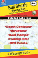
Bull Shoals
|
|
Bull Shoals Lake (West Section), Arkansas/Missouri Waterproof Map (Fishing Hot Spots)
Hwy 125 to Taneycomo Dam
Vendor: Fishing Hot Spots
|
$16.45
|

|
|
|
Bull Shoals
|

|
Bull Shoals Lake (East Section), Arkansas/Missouri Waterproof Map (Fishing Hot Spots)
Bull Shoals Dam to Hwy 125
Vendor: Fishing Hot Spots
|
$16.45
|
|
|
|
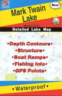
Mark Twain
|
|
Mark Twain Lake, Missouri Waterproof Map (Fishing Hot Spots)
Vendor: Fishing Hot Spots
|
$16.45
|
|
|
|
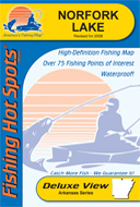
Norfork
|
|
Norfork Lake, Arkansas Waterproof Map (Fishing Hot Spots)
Vendor: Fishing Hot Spots
|
$16.45
|
|
|
|
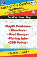
Ozarks
|
|
Lake of the Ozarks - Northeast (Milemarker 17 to Bagnell Dam) Missouri Waterproof Map (Fishing Hot Spots)
Vendor: Fishing Hot Spots
|
$16.45
|
|
|
|
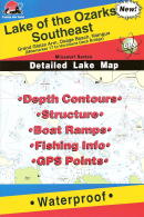
Ozarks
|
|
Lake of the Ozarks - Southeast (Hurricane Deck to Milemarker 17) Missouri Waterproof Map (Fishing Hot Spots)
Vendor: Fishing Hot Spots
|
$16.45
|
|
|
|
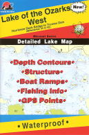
Ozarks
|
|
Lake of the Ozarks - West (Hurricane Deck Bridge to Truman Dam - Milemarker 35-92) Missouri Waterproof Map (Fishing Hot Spots)
Vendor: Fishing Hot Spots
|
$16.45
|
|
|
|
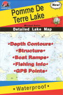
PommeDeTerre
|
|
Pomme de Terre Lake, Missouri Waterproof Map (Fishing Hot Spots)
Vendor: Fishing Hot Spots
|
$16.45
|
|
|
|
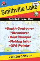
Smithville
|
|
Smithville Lake, Missouri Waterproof Map (Fishing Hot Spots)
Vendor: Fishing Hot Spots
|
$16.45
|
|
|
|
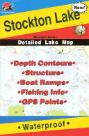
Stockton
|
|
Stockton Lake, Missouri Waterproof Map (Fishing Hot Spots)
Vendor: Fishing Hot Spots
|
$16.45
|
|
|
|
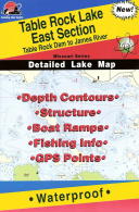
Table Rock
|
|
Table Rock Lake, Missouri (East Section) Waterproof Map (Fishing Hot Spots)
Table Rock Dam to James River
Vendor: Fishing Hot Spots
|
$16.45
|
|
|
|
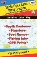
Table Rock
|
|
Table Rock Lake, Missouri (West Section) Waterproof Map (Fishing Hot Spots)
James River Mouth to Beaver Dam
Vendor: Fishing Hot Spots
|
$16.45
|
|
|
|
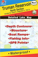
Truman
|
|
Truman Reservoir, Missouri (North) Waterproof Map (Fishing Hot Spots)
Includes South Grand River, Deepwater Creek, Tebo Creek
Vendor: Fishing Hot Spots
|
$16.45
|
|
|
|
Truman
|
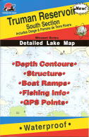
|
Truman Reservoir, Missouri (South) Waterproof Map (Fishing Hot Spots)
Includes Osage & Pomme de Terre Rivers
Vendor: Fishing Hot Spots
|
$16.45
|
|
|
|
Wappapello
|
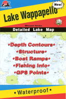
|
Lake Wappapello, Missouri Waterproof Map (Fishing Hot Spots)
Vendor: Fishing Hot Spots
|
$16.45
|
|
|
|


